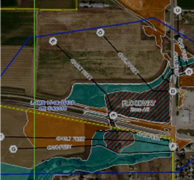
Colorado Hazards and Risk Map Portal
The portal offers a variety of resources including a flood hazards map and information by county, a community resources page, and a master calendar for Colorado.
Summary
The Colorado Hazard Mapping Program aims to provide a mitigation and land use framework in areas likely to be affected by future flooding, erosion, and debris flow. Maps convey a composite picture of the natural hazards of varying magnitude, frequency, and area of effect.
